Friday, December 01, 2006

November 20, 2006


November 20

After checking out of the room, to seaside beach to cook and have breakfast. I then biked around the town of seaside, doing a few caches and riding around their lake.
Went to aaa and bought an aquarium tix. From there, I found my way out to Asimolar State Beach.
Late lunch or early dinner at the van and then a walk through the tide pools and rock scrambling. At my last stop at the rocks, I was just leaving when I notices 5 deer making their way to waters edge. I had never seen deer wading in salt water and exploring tide pools before. Got a few pics of this.
Walked the crescent sand beach south of the rocks and tide pools. Lots of surfer dudes and dudettes on the waves kept me occupied for a time. Watched a pair of dogs, a dalmation and a german shepard romp on the beach. The owners were throwing out a chase ball, and the dalmation would always be leading the way. If it retrieved the ball, the shepard would catch up and of course tussle for it. The dalmation would run up to it and not retrieve it, instead, make a romping loop around. The shepard would not go for leftovers, instead he would follow the dal. They were having agreat time, and this chase game took up a hundred yards of beach. They were certainly loaded with energy!

November 19, 2006


Sunday, November 19
Kind of a catchup day. After breakfast, did a bit of shopping, got a room to do internet, and then parked on the north side of the harbor, to bike into the wharf area of Montery. Talked a bit with a guy there about living in a van, then headed off.
Walked the wharf. The guy with the Parrots was out (pics). Beautiful birds. The Lady Washington was at dock and had quite a crowd looking over her.
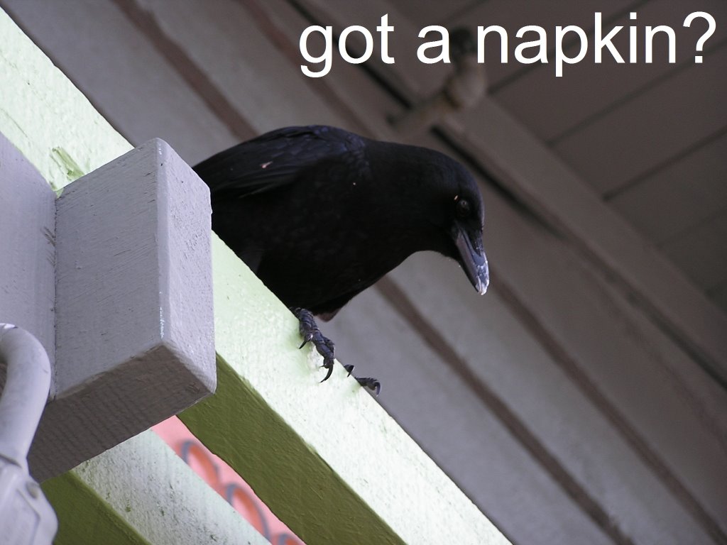
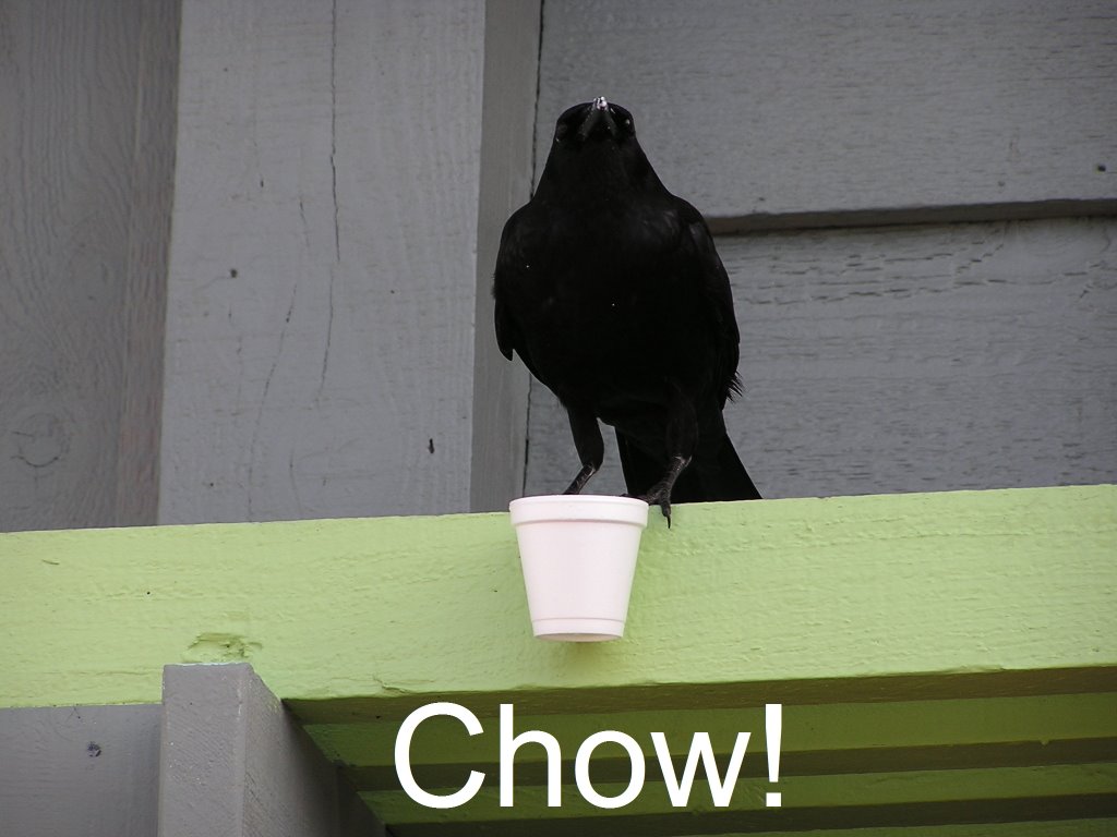
I got my fill of Clam Chowder with all of the samples being offered. While chowing down on a cup, I noticed a couple of people outside one of the restaurants looking at a crow perched on the awning above. It had somehow gotten ahold of a cup of chowder, and was perchered with the cup in a one of its feet which also clung to the edge of the awning. It would bend over and pop its beak in for a mouthful very now and then. Hilarious sight, and got a few good pics. It finally dropped the cup, as if done with lunch, and a view of its head showed the evidence smeared on the outside of its beak (pic). yum yum :0.
After a conversation with the women at whale watch, went thru the musems and them headed out to the coast guard/diving area. Biked to the end of the pier where the sea lions are. Got some neat pics of them and the cormorants.
On the way off, saw an otter 5 feet off the pier lounging and eating lunch. No pic though.
After getting back to the van, drove along cannery row to go out to Pacific Grove.
On the way, had a laugh when a fourseat bicycle carriage crossed in front of me. Two guys up front and a girl in back. I stopped well ahead and motioned them to cross. The guys laid on it, grunting as they tried to hurry across. The girl was sitting in back, cross legged, taking in the scenery. The devil in me caused me to call out to them "hey, she's not pedalling!". This proved to be a show stopper :') with the guys groaning and grunting, and the girl looking back at me with her finger at her lips with the shssshh sign. We all got a good chuckle out of that.
After a bbq dinner at Lover's point in Pacific Grove, to the room and worked on blog.

November 18


November 18
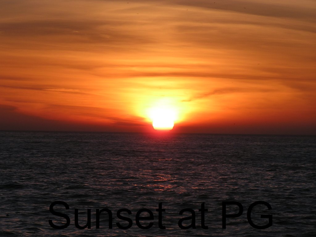
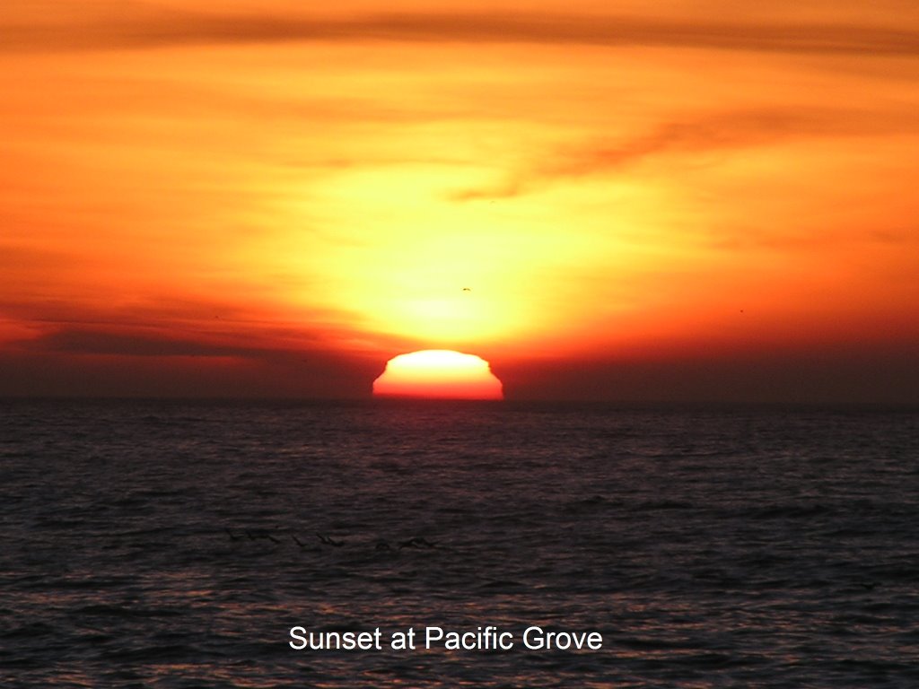
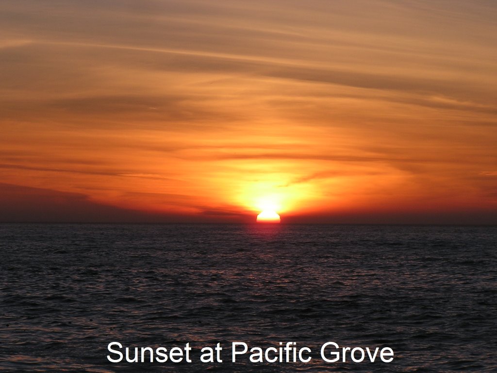
Spent the day caching and exploring the Seaside, Sand City and Marina area (a town, not a harbor), completing the day with dinner and sunset at Pacific Grove (pics).
There is a recreation trail that runs from Monterey or Pacific Grove through Marina, and possibly further. I think I have now (through end of this visit) covered 15+ miles of it between bike and hike :). The best cache of the day was certainly "feed your soul"(gcovbn) (pics). It is on a bluff overlooking the beach on the outer fringe of Fort Ord. It is at least a half mile or more from typical public access, and therefore I had the area to myself. I entered through a fence opening from the rec trail, then took the old fort's roads and jeep trails until I found the best route out. From there it was a short hike up the dunes to the cache. Mesmerizing views! had a half dozen dolphin working the break, sealions passing by and lots of plovers working the beach. Sailboats out on the bay, osprey, hawks and vultures on the currents off the dunes. Had snacks and must have spent an hour and a half overlooking this scene. Definitely fed my soul :))))))).
As I returned to the toybox, which was parked at seaside state beach, out on the bay was an old friend. Yep, there was Lady Washington :).
BBQ and sunset at Pacific Grove was gorgeous, as usual. Most foks out there don't appreciate that I can just pop up, have the grille going and "cheeseburgers in paradise" and be photographing the sunset, with such little effort. Sorry about that. NOT!!!!

November 17 2006


November 17
Time to make my way south. After some business in SC, I started caching southward thru Capitola. One notable was another of those darn nano's, stuck to the back of a railing out on the wharf! A lot of good ones in Moss Landing. USS Macon, Military Zeppelin (gcz5xc)has an extensive write up describing its fate, but I missed the connection to the cache location. However.........the cache did have some good TB's and I snatched up a fire engine and a duck (oregon) whistle :'). I have to get these logged so that I can get them off on their way. Caches led me through sloughs and state beaches, but the best one was a "DNF". Monterey Canyon (gcypm8) (pics) is set in the proximity of the eastern end of that sea canyon. It has a 4/4 rating, yet I was able to view it plain and clear. It is in the ocean, and you need a proper tide and an extension ladder to retrieve it. The cache even has a "friends" of group, and they are set to do a group effort of retrieval on Monday evening. Will have to see how that worked out :).
Captains Inn (gctm3n) is also an interesting hide. Hard to not get muggled, and to make things worse, as I was milling, trying to not be conspiculous as the girl walked by, she said "are you geocaching?". I just hung my head :(. I asked if she were the owner, and she said no, just a player. She did not hang around for me to ask anything further.
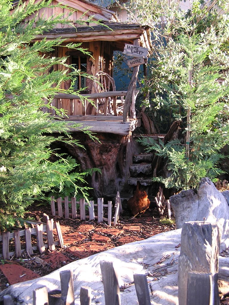
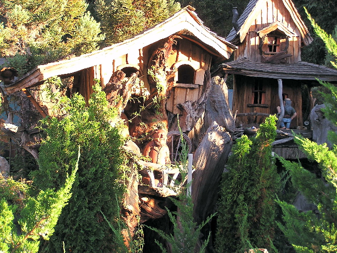
So, I was just meandering towards Monterey and somehow made it onto hwy 68 east of town. As I was nearing Laguna Seca area, Some treehouses (literal) caught my eye. Tough turn around, having to go a mile and 3 turns to do so, in friday afternoon traffic to boot, but was it ever worth it! Perhaps others know who Steve Blanchard is, I did not, but his workshop and gallery sit out here pretty much in the sticks. He has spent some 5 or 6 years creating Itsyville (pics), a village that looks fashioned after the hobbits or elves, around the exterior of his gallery. The detail is awesome, and the longer you look, the more layers to it you find. There are folks tucked inside through some of the windows, or great detail inside of the structures that you can peek within. Some are mutiple story, or condo units, built around and up tree stumps. I about fell over with laughter when the rooster appeared (pic). Anyways, a very en-light-ening stop. I have not visited it yet, but he has a website www.blanchardwoodsculpture.com. He was apparently at work in his outdoor shop while I was there, and as I readying to leave, someone waved as he went into another building, and I assume it was him. Very cool stop indeed.

Monday, November 20, 2006

11 16


I had heard of a little hyped state forest east of Santa Cruz, by the name of The Forest of Nisene Mark's, but had never paid a visit. It took some time getting in, as I, of course, had to miss the correct road, and so I explored a bit in the process. Aptos is a nice litle village, and there is a canyon or gorge, Trout Creek, that paralells the forest road and is a very nice drive. A fern canyon with a one lane at times, snaky, switched back road. A couple of places the road lost a lane or so to the past storms. I was using the caches as a map on the gps, and made it to the end of the road before concluding that even though I was in the forest, I was not able to step foot into it. Story of my travels though. Don't worry at times if you are on the right road (besides, who is to determine that?) and just see where it takes you : ). It proved to be a another spur of the moment mini adventure.
Back down to Aptos, I decided to detour out to Freedom to see what that was about. Nice back country style drive. And then, might as well take a peek at Pinto Lake...
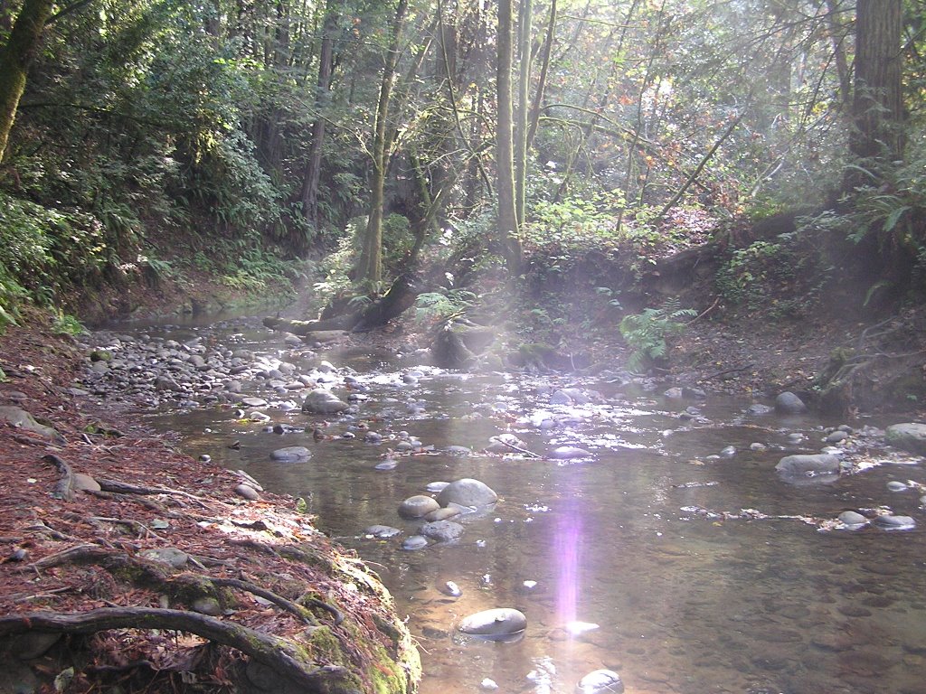
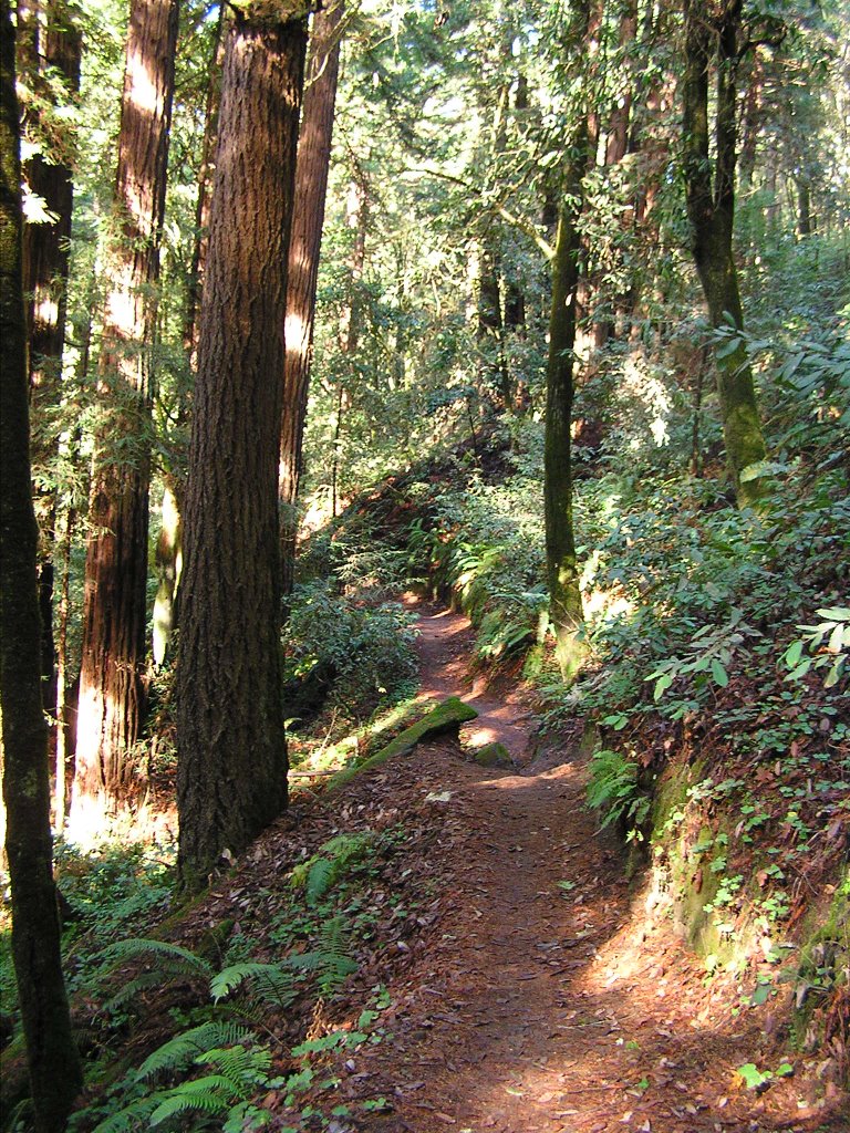
Back to the state park. Very Nice, second growth (100 yr +) forest. N Marks was the women who had owned the land, and the family donated with the condition it be named in her honor. The drive ends quickly, and you can hike a service road or a number of trails from there. I managed one cache (Buggy Trail- gcnoza) before diverting onto the creek trail (pic). Great little creek at the bottom of a canyon with forest filtered light (pics) held my attention for way too long. As I finally started making my back to the van, I had a weird encounter with a squirrel. I swear this thing was sobbing! The first noise captured my attention, and I seeked the source. About 25 feet up a tree on a broken limb sat a squirrel (pic), and it was making the most woeful cries I had ever heard from a wild animal. It almost appeared as if it had become stuck up the tree and was crying about its predictament. I decided to keep my distance, lest it jump with the hopes I would break its fall :). poor guy.
After a late lunch back at the van, I decided against a longer hike for more caches, and used the remaining daylight to look around Aptos a bit longer and make my way to Lighthouse point. 50sumptin had placed a couple of pirate themed caches here, and of course, I was game for those. I mananged to find Dead Man's Chest: Message in a bottle- gcyjmc, but no luck with the second one. Vowed ot get back and find it later and moved out to a parking area with a good view of the sunset for dinner.
Walked downtown SC afterwards. Definitely a different culture (;'), Santa Cruz is... Very vibrant downtown and "happenin" around the clock.
Well, another night at New Brighton, I guess. Used to be that I could just park overnight at Lighthouse, but it is all posted and gated now.

Sunday, November 19, 2006

November 15


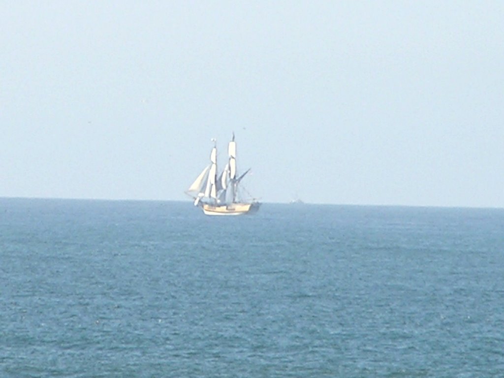
My cute crew from Lady Washington had said they were disembarking at "dark thirty" for Monterey, but as I was breaking camp, there she was. I spent the next hour watching her make way, and set her sails (pic). Since there are 10 sails, and a hodge-podge volunteer crew, that is quite a chore! Certainly has sparked my interest in spending a couple of weeks on her as a crew in San Diego :'). Having sailed before, and being of a quirky, anal, thought process (those of you that have heard my question of flight time/speed west to east know...), I wondered what the proper terminology was for setting sails on a tall masted ship. In all of my sailing on sloops, you raised, or hoisted, the sail (literally) to set them, and lowered the sail to take them down. Only, with tall ships the sails drop down from their booms to set. Probably "setting" is proper.


Sheesh, gotta get a life...


I decided to let caches set the agenda for the day. First one was just a micro marking an obscure entry point to the trail that runs along the bay through the state park. Next up was Bret and Bart's... (gcjehc) which took me to the parking lot/ trailhead to the Mavericks. You easterners may not have heard of them, but the Maverick's is a reef off of Pillar Point that produces some of the biggest and best surfing on the west coast. Once a year they have a major competition, invitation only, for the world's best surfers. They are given one days or so notice, based on forcasts and storm generated surf, and they fly in from all over the world to compete. Google Maverick's and you will see some spectacular surf shots. They also have a webcam on them from the bluff.


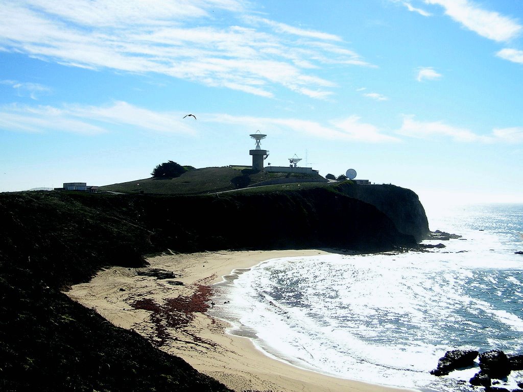
Anyways, back to the cache. Pillar Point is home to a Air Force Military installation. The mavericks are on one side, the harbor on another, the airport just N.E. of it and then some hills just North. I always wondered about those hills, and how to access them. Now I know. They are called P.P. Bluffs, and a trail loops them. On the ocean side, under a cypress, lay the cache. Good enough. But, from the spot, you can see the mavericks and also look at the AF installation from a level point (pic). Radar dishes and whatnot (pic). As you follow the trail north along the ocean ridge, you are now looking at the southern most part of Fitzgeralds reef. Come to find out, P.P. harbor is within the marine reserve. Loop around and now overlook the airport. This was quite fun, watching the planes take off and land from above. Next, i noticed the police cars. Two groups of 6 or 8. They were sharing the airport with the planes, doing high speed driving/pursuit training. That was definitely interesting. All kinds of configurations, with instructors being lead (bad guy) and the rest giving chase. They evidently have to maintain certain distances, and had to make exactly the same manuever as the lead. Watching them do 90 % 's at 60 or so, and then having the tire squeal reach me a few seconds later, due to the distance, was almost comical.


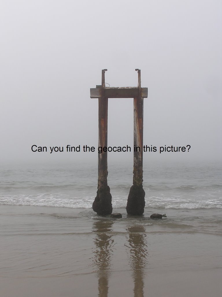
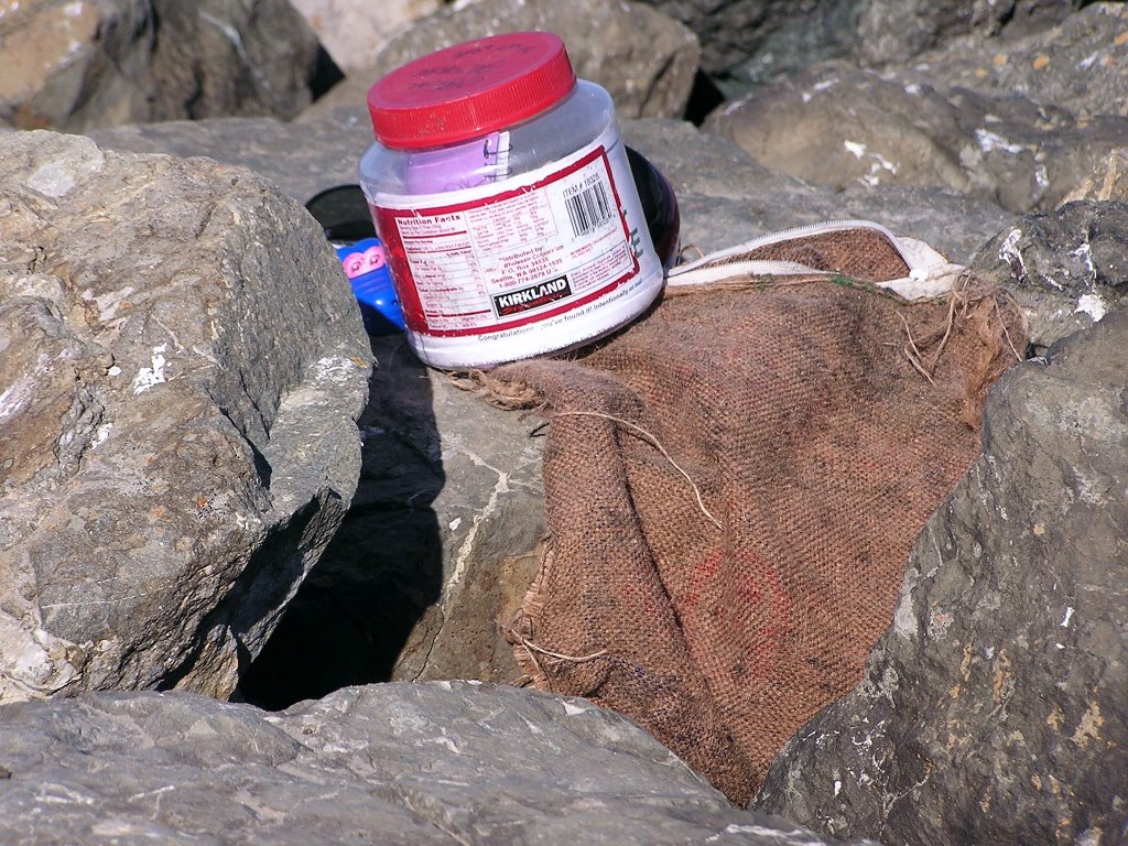
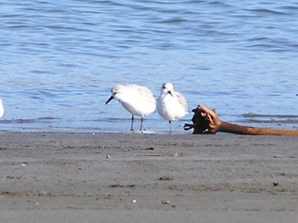
All of this made for a great hike. Back at the parking lot and after lunch, I realized there was another cache in the vicinity, but it showed as being off-shore? Going to the description, I realized it was on the jetty to the harbor, and I would not have to kayak or surf to it. Better luck was that it was low tide, so I did not even have to rock-hop a quarter mile of the jetty. A very ingenious disguise to the cache. it was stashed in a weathered burlap bag, wedged in the rocks, appearing to be part of the flotsam that littered the jetty. I rescued a teddybear TB for its owner and headed back via the beach. Oh, the cache is Piedras Mojadas (gcmwch)(pics). Walking the beach in low tide gave me an up close and personal look at the wading birds. I just love watching the snowy plver work the surf line (pic). They appear afraid to get wet, and they run with little legs to and from the waves. They can really move with those little legs, and their actions always make me laugh. The placards say there are only a few thousand that migrate to our coast, and I swear I have seen half of them so far!


I decided to make my way to Santa Cruz to bed down, and took in one more cache along the ways.


B is for Beach is a half mile out from San Gregorio creek. A very nice beach with dunes and wind sculptured cliff face. No camera with me for pics. I gathered drift wood on my return for a fire tonight. SO MUCH wood on the beach. Dozens of those little "teepees" people build for whatever reason. In the parking lot, I was approached by a couple who deemed me a local (I guess) and questioned the purpose of them. Killing time I guess. They wondered if they were for bonfires. Can't recall ever seeing that, but they would do nicely.
As I crossed over into Santa Cruz county, low and behold, there was Lady Washington offshore.


Well, I am bummed about Santa Cruz. The best I can figure is that since SF cracked down on homeless encampments, Those folks have dispersed to other climes. SC has shut down nearly all my old boondocking haunts, and those that remain are highly sought after. So, plan B, New Brighton beach. Not that I don't like the camp, I just hate the state park system and their $25 to $35 parking spots is all. Alas.


Have I mentioned the weather?


It is downright beautiful. No heavy fog at night to dampen you to the bone, and I have been in shorts and a tee almost exclusively. Loving this stuff. I stargazed again tonight, and a late night walk along the beach was awesome!


Well, a goodnight to all, and all a goodnight, or something like that :)

November 14, 2006


Stardate-14 day of the 11th month of the 7th year of the millenium.
OK, nuff of that. After tiring of the details of eliminating most of my wordly possesions and gearing up for the "big travel", it dawned on me that I was not going to be out of the house by the end of the month, and I needed to remind myself of what is was I was working towards. So, roadtrip! I decided to head south to Monterey Bay, since the storms were not reaching too far south and I never need much of an excuse to spend time here. Besides, my journeys may take me in another direction, and I would hate to miss the chance to spend a bit more time down here. So, bright and early, off I go. Day 1 is a bit dry in detail at times, sorry about that.

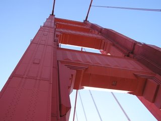
My first stop was at the Marin Headlands overlook, then walked out to the first tower of the bridge(pic). Noted that the crabbers must have settled on a price, as a dozen or more are headed into the gate. On my return walk, I saw the Coast Guard scramble their life boat and cutter from Fort Baker. That was actually pretty interesting to see, as it was definitely a "scramble". If this had been last weekend, they coulda been heading out after me (kayaked the bay and pushed the envelope on the tide change) :').
I went back up to the headlands to look for CG. Nope. But bikerguy did give me coords for "great kayak launch. Just north of J Muir beach, walk out the point, past the nudey beach (don't worry, they won't bother you) to the end of the point. Great little beach, everyone launches there." Hmmmmmmmmmm, file that one away for later :'). Maybe even kayak...
As I headed onto the bridge, KCBS said that yesterdays storm caused a raw sewage spill onto Great Highway and Ocean Beach at GG park area. OK, Road is open, but....OK, alternate route is....
Nice little stop at Fort Funston. A sharp wind had all the gliders scrambling into line for a launch.
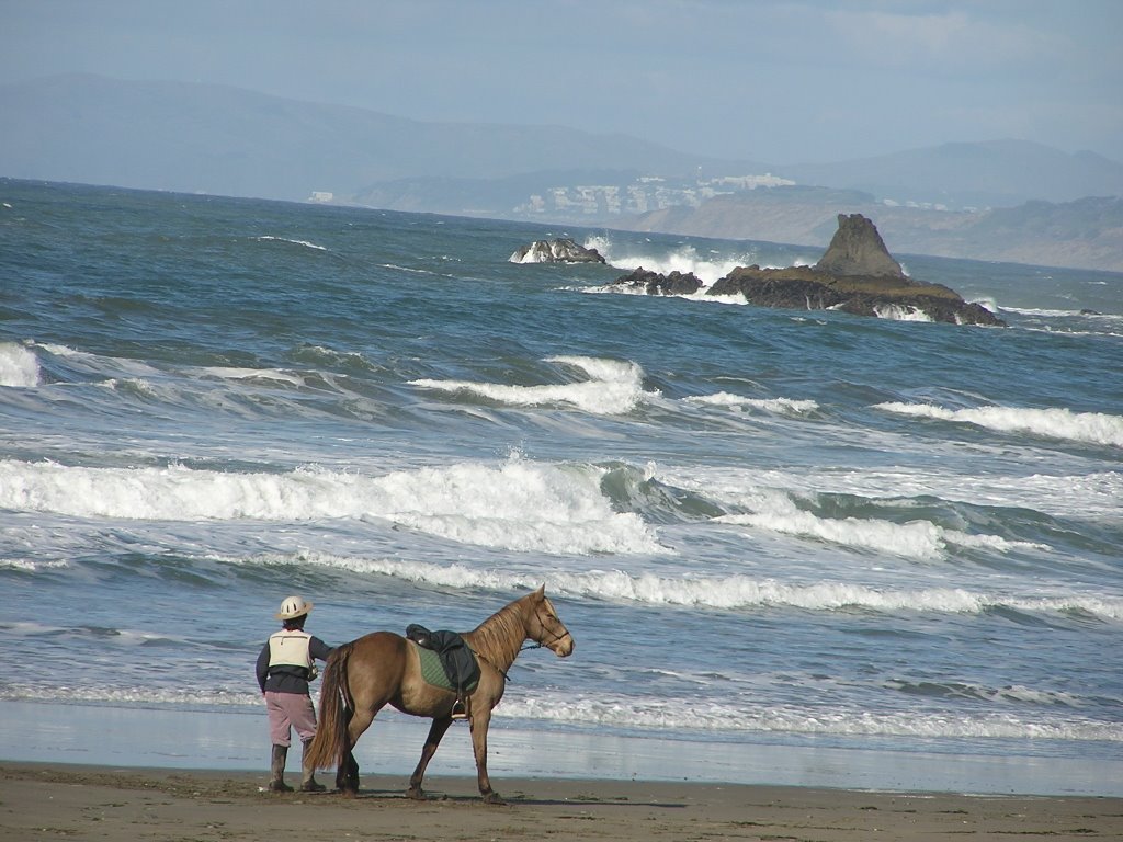
Stopped (as always) for a beach walk at Pacifica. A lady walking her steed on the beach (pic). Tully Mars? Jimmy woulda been proud of the scene. More crab boats on their way out. Yep, crab on the tables for Thanksgiving.
Stopped and got a pic of Montara light. Hostel. Hmmm. Nah, the starship is bucking and racing, further still it calls. Later, I picked up a brochure for the hostels. Not really a bargain, unless SF is similiar in price. I guess it is about the experience.
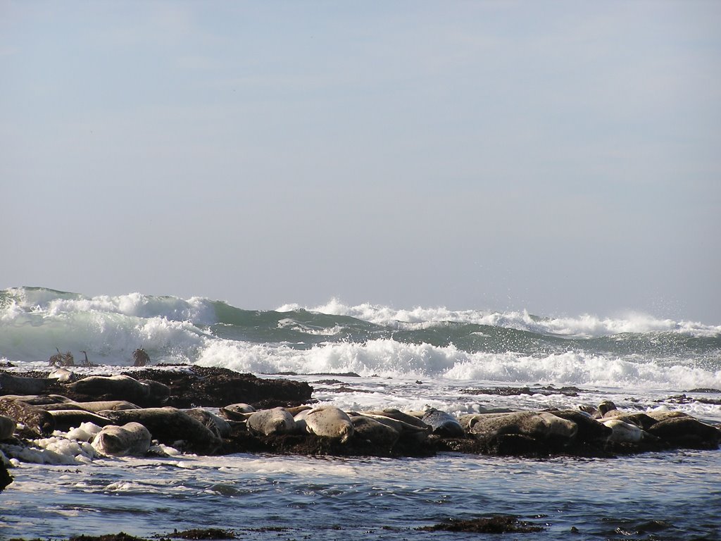
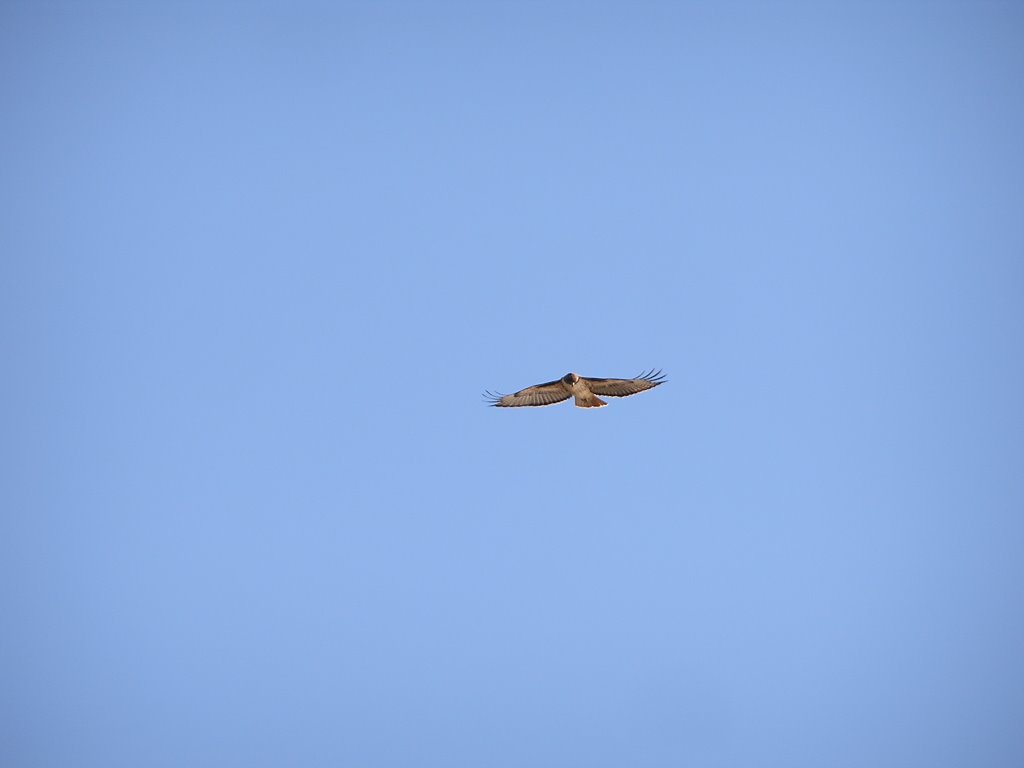
Next stop is Fitzgerald Marine Reserve at Moss Beach. Lunch in the park (Bett, Jim, CJ-Deja Vu all over again). Low tide, yee haw. Osprey cruising and kiting on the cliff line above the beach (pic). Seals lying on the inner edge of the reef away from the break (pic). A couple of really nice sized Abalone shells nestled in the reef at shore. Shorebirds feeding in the exposed reef.
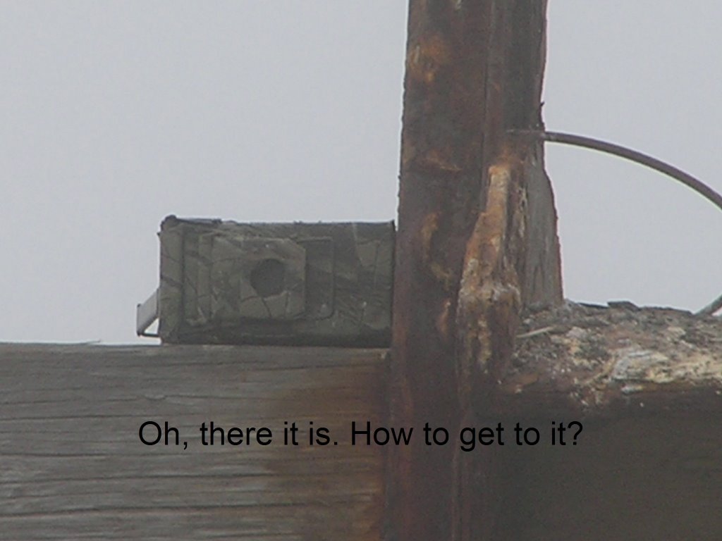
Carl's cache (gcw9a1) is out there somewhere's, but up on the cliff. I managed to walk the length of the reef, to a path up at the south end. Nice grove of trees, Monterey Cypress? eucalyptus and assorted (pic). The cache is resting in the nook of the top of the trunk/junction of trunks, of a large cypress, with any access point at least 7 feet up (pic)! Plus, no limbs or holds to help get up. I had to get above the point to be able to reach down within to open the container that held the cache. Sheesh, I have not climbed like this in a few years :). It did rate 3 stars on terrain, now I understand. Cute cache with Carl's fish in a jar and all (pic). Fun little adventure to start the trip.
I then mosied around Pillar Point. Notice a Tall ship at dock in the Harbor. Good sized one too. Nice looking vessel. Got to get a better look, and maybe a pic or two. Finally decide I have to walk around and out to the ship for a good view. lots of teens coming down the dock. Must have been on an excursion? As I approach the dock, lots of people milling around. Excuse me, do you know the name of the boat? "oh, it is the Lady Washington" used in the J Depp Pirates movies (portraying the HMS Interceptor in the film Pirates of the Caribbean: The Curse of the Black Pearl and the brig Enterprise in Star Trek: Generations. She also provided the basis for the RLS Legacy in the Disney animated feature Treasure Planet.), and it is open from 4 to 5 for free tours." Oh yeah, I think. This is gonna be one of those kind of road adventures :'). So, I strike up conversation with my new lady friend and find out her brother is also a westy buff, and they once had to send out the guard to locate him on an alaskan trip. She laughed at the irony of similarities, as I described my intents. The tour was cool, spent some time yakking with the cute brunette crewmember about how she ended up on the boat "so what's a girl like you doing on a boat like this" I said with a wink (NOT!). Come to find out, I can submit an application via web, and enlist as a volunteer crew for one and two week stints! It is heading to San Diego to meet up with the Hawiian Cheiftain to do sails there for the winter. Well, Damn! Now you got me thinking ;').
At sunset, I pick up a quick cache, and headed to Halfmoon Bay state park (:( to camp, so I can spend time around this area manana. Very nice evening, campfire, stars galore (two falling), planes arriving off the pacific into SJ, crabboats and/or squid boats working just offshore.
Yep, day one was satisfactory. Good night.